
What's New
- Live Maps - direct georeferenced map data
- Direct Export to Avenza Maps
- Localization - available in Spanish & Croatian
- Forestry Cable Planning & Deflection Analysis Functional overhaul
- Plan Window Shading & Display Reporting
- Horizontal Alignment Optimization (*Softree Optimal)
- GPS Waypoint Sampling
- GPS Track Log
- Watershed Calculations
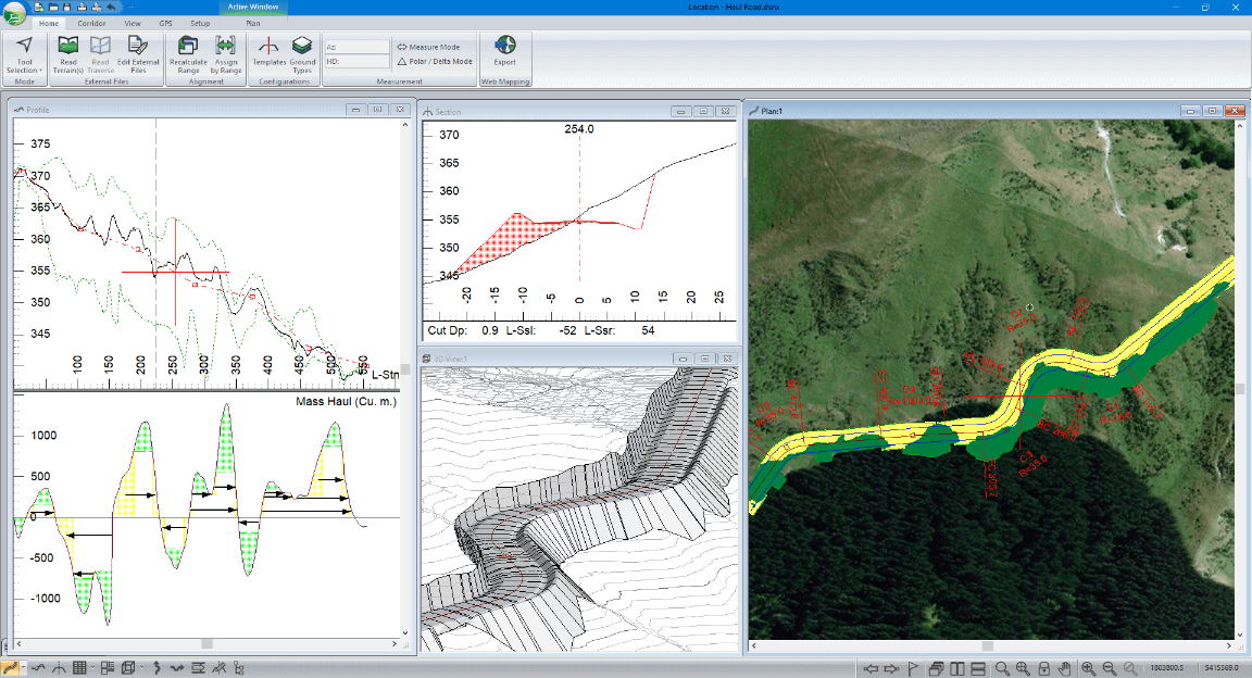
- Location Multi-PLot Improvements
- LandXML Export Improvements
- 3D Culvert Visualization
- Improved Alignment Tree Control
- Multiple Horizontal Alignments - ability to use alignments as reference features
Feature Preview:
Shading & Display Reporting
This powerful visualization tool is now available in the Plan window. It provides an ability to control shading and display by cut / fill zones, surfaces, template codes, and various other attributes.
Video Preview: https://youtu.be/4VCs6WDWSL4
Feature Preview:
Direct Export to Avenza Maps
Export Plan window data from RoadEng's Terrain and Location modules directly into georeferenced PDFs built for Avenza Maps. Re-import notes and details captured in the field with Avenza back into RoadEng.
Read more about:
Feature Preview:
Project Explorer Panel
New to RoadEng 9 and Softree Optimal 9 is the Project Explorer panel. The new panel makes it easier to work with multiple horizontal alignments and multiple vertical alignments.
Feature Preview:
Live Maps
Quick introduction to the new Live Maps feature of RoadEng & Terrain Tools 3D (version 9). It provides direct on-line access to free imagery and DEM data. Automatically georeferences it and brings it into your project.
Video Preview:
https://youtu.be/Arafor-EG1U
Feature Preview:
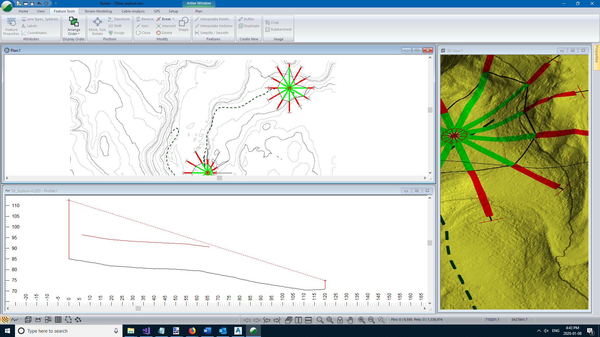
Cable Logging Improvements
Improvements to the UI and functionality of the cable logging functions. Including: explore mode with loggable polygon, auto tail calculation, save as default for logging systems and equipment, improved profile display and more!
Video Preview:
https://youtu.be/XDdQO-An4O4
Feature Preview:
Horizontal Alignments as Reference Features
Use an additional horizontal alignment as a reference feature. In the video below, we will use a reference feature to control the elevation of the bottom of the ditch.