Built from your feedback.
RoadEng & Terrain Tools Version 10 are inspired by real user feedback. We listen to your support challenges and adapt our software to make it easier to do the stuff you do.
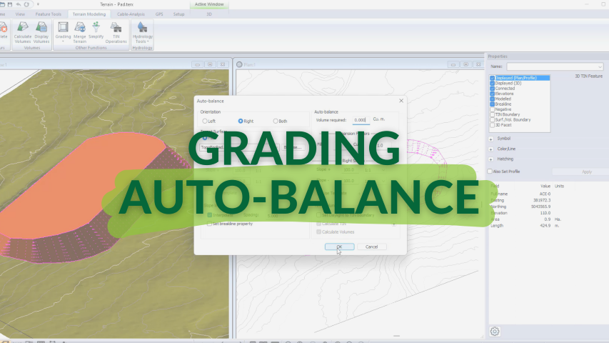
Auto-Balance Grading (TERRAIN)
A new grading option that adjusts the feature elevation for cut-fill balancing of a graded object(s) in Version 10 of RoadEng and Terrain Tools.
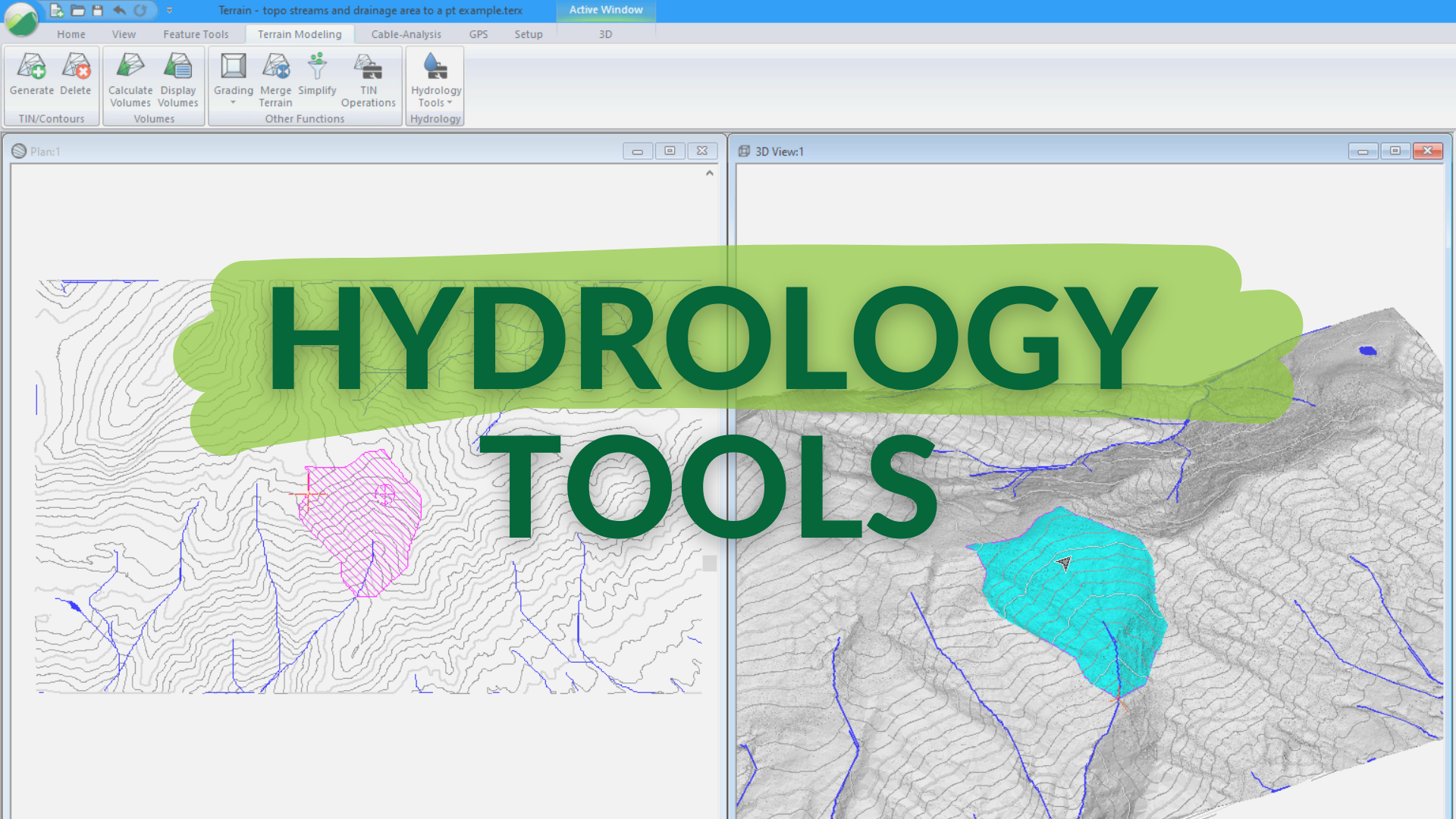
Watershed Improvements (TERRAIN)
- Watershed Boundaries— Improved in V10! Creates a set of boundaries that represent the catchment areas for individual watersheds.
- Streams & Ponds—NEW! Creates features that represent streams and ponds. The flow lines are based on a grid operation.
- Drainage Area to a Point— NEW! Determines the area that is draining to a specific point. Useful in considerations for culvert-size.
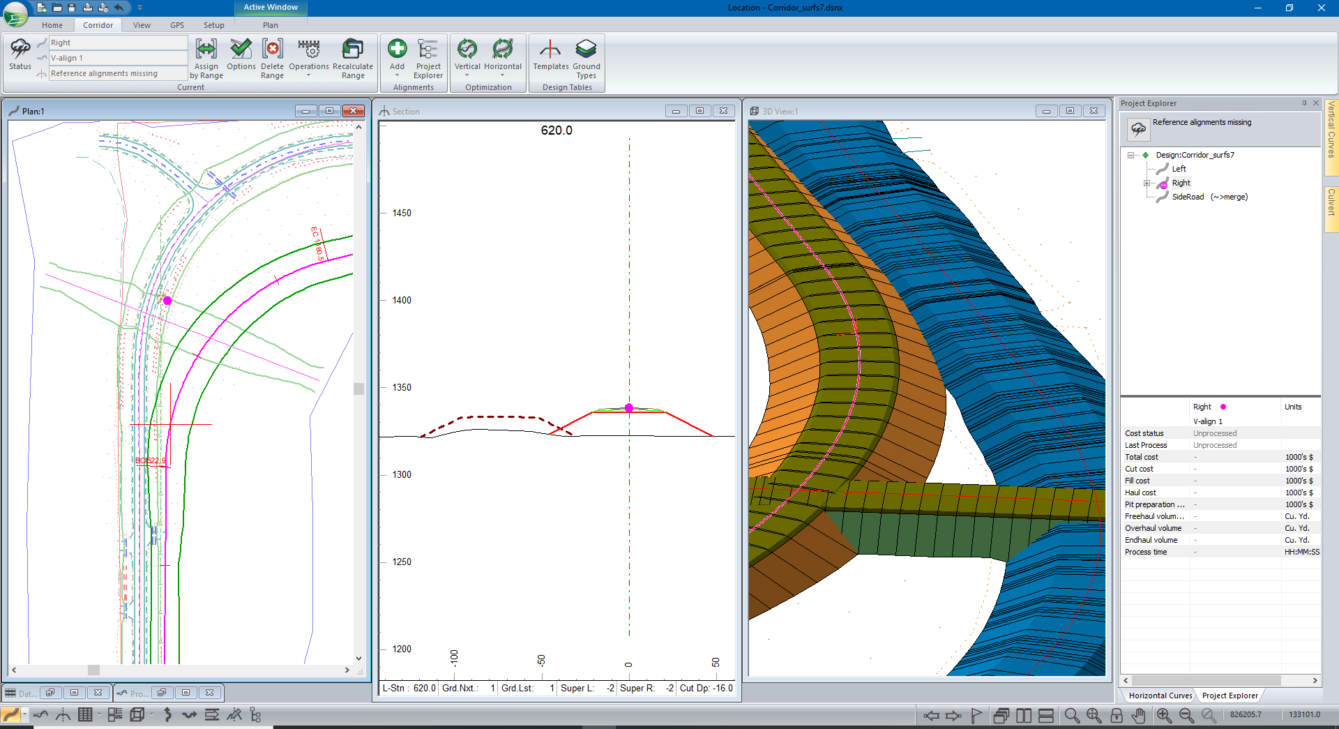
Multiple Corridor Surfaces (LOCATION)
Create individual surfaces from corridors. Sections and profiles are available from the surfaces.
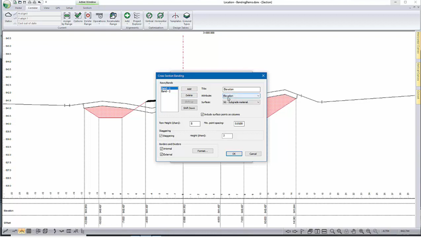
Section Window Banding Display (LOCATION)
Display and control of additional cross-section information through banding.
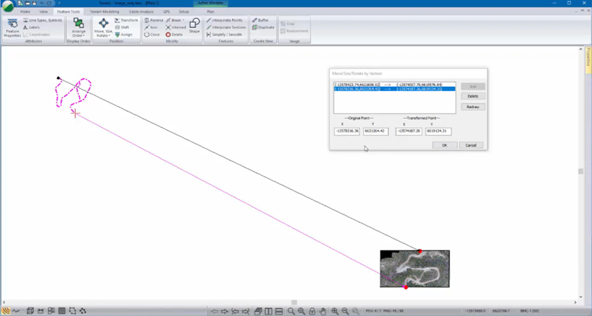
Rotate by Vectors (TERRAIN)
Shift, scale and/or rotate a set of selected features to match known control points or features.
Terrain Module:
- Improved image geo-referencing
- 3D window speed improvements
- Watershed calculations: define
streams feature - Watershed calculations: drainage
area calculation - Image Transparency
- Drape on external Terrains +
- 3D facets & objects - model 3d objects independent of the project's TIN
- 3D symbols
- Move / Size / Rotate by Vectors
- TIN Generation Dialog Improvements
- Export to DEM for use with HEC-RAS
Location Module:
- Direct Location Export to Shape File
- Section window banding display
- Allow Template Parameters to transition to full super
- Multi-Attribute Shading
- Profile sub-windows area size control
- Profile window curve display
- Project Explorer dynamic improvements
- Multipage Multi-plot export in DWG
