Cable Logging Analysis & Forest Engineering Software
Cable harvest planning and analysis can improve both equipment and landing locations, as well as allow the harvest operation to increase efficiency.
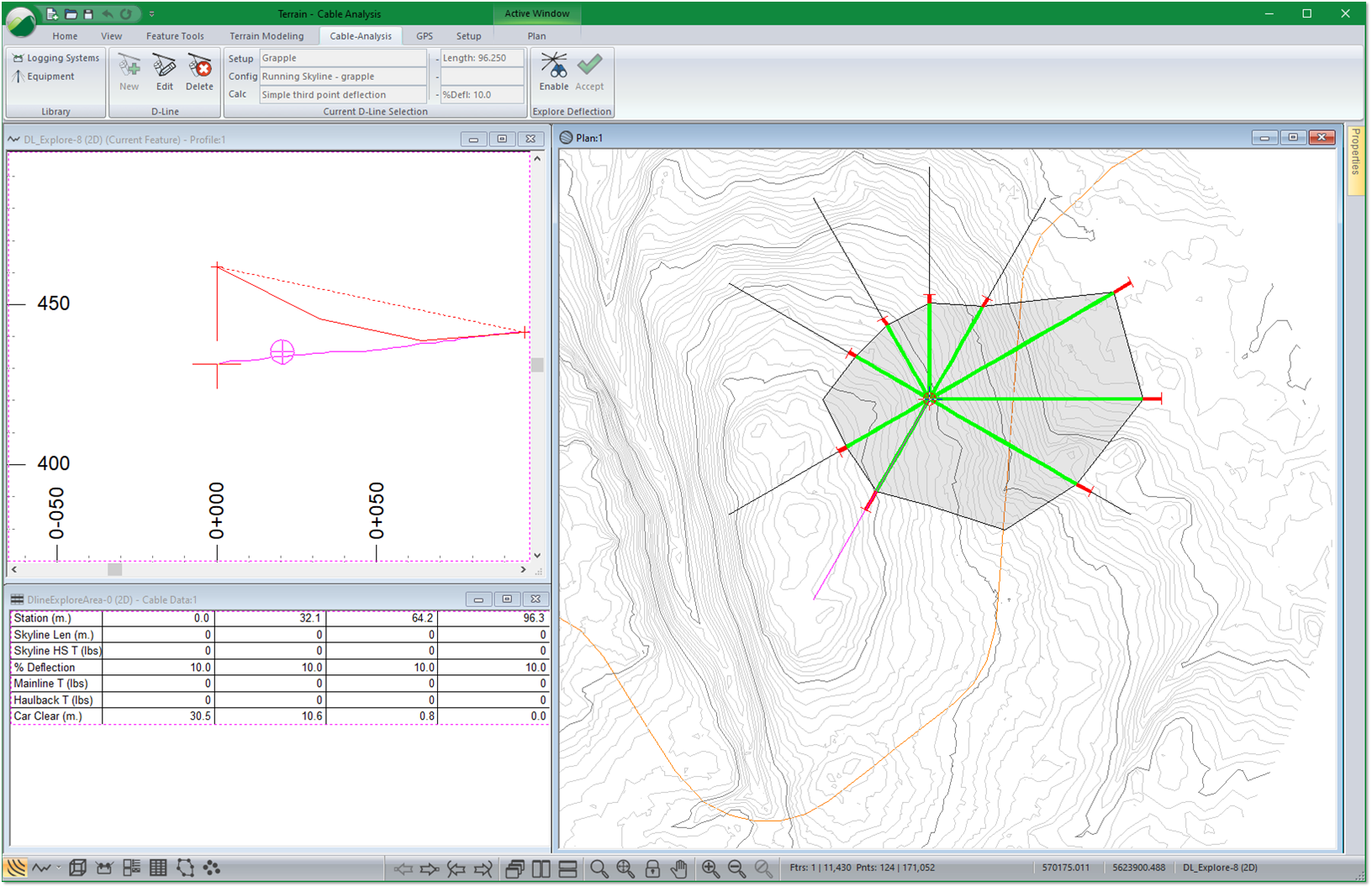
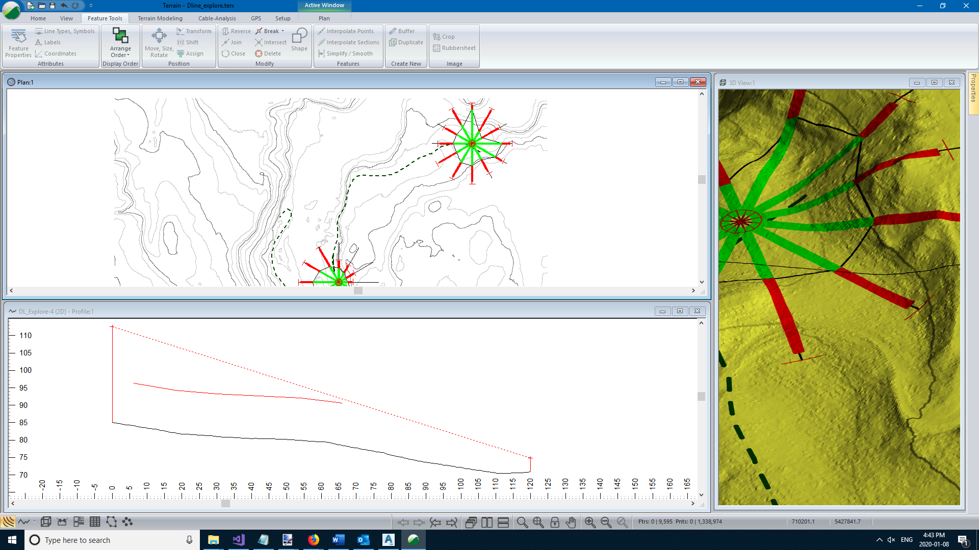
Working off of a high-resolution digital terrain model (such as LiDAR), users can simultaneously explore multiple areas for deflection for cable harvesting suitability and conduct payload analysis. Harvest planners can review the potential locations in plan, profile, and in data views, allowing them to better determine optimum locations.
Cable analysis functionality is included in two products:
- Terrain Tools Forestry | Terrain Tools Forestry is a dedicated forestry planning tool for building 3D terrain models, creating forestry site plans (landings, culverts, bridge sites, log dumps) and for analyzing terrain where cable harvesting equipment is used to extract logs.
- RoadEng Forest Engineer | all the functionality of Terrain Tools, plus a specialized module for road design and planning.
With both products, you can analyze payload, clearance, and line tensions. Evaluate different types of equipment and logging configurations. Plot various carriage positions for a given midspan deflection (third point method).