Engineering Software for Rural Infrastructure Solutions

RoadEng Civil Engineer:
Easy-to-use geometric civil design software for road, rail, pipeline and corridor projects.

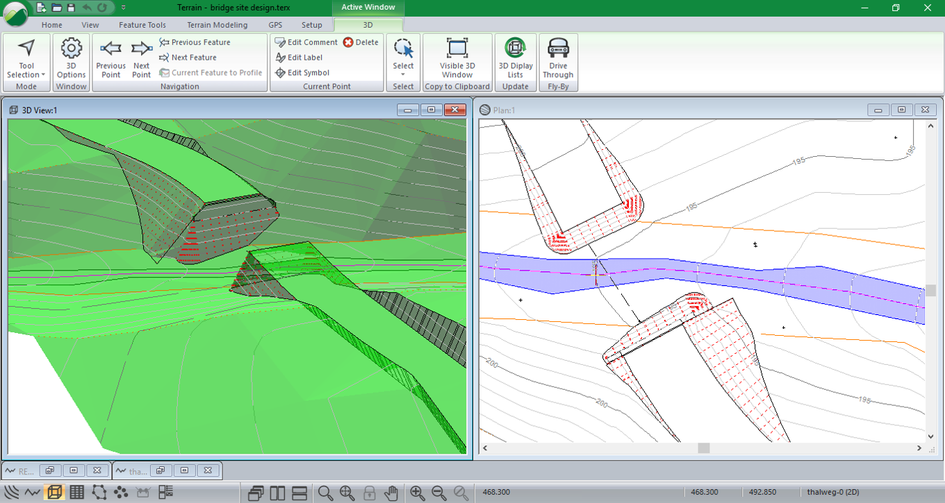
Specialized for the design of rural infrastructure, RoadEng significantly speeds up the corridor design process. Built from the ground up to work with surfaces, cross-sections and alignments, RoadEng handles larger data sets in ways other civil design software cannot

Unlike many other civil design software options, RoadEng focuses on engineering over drafting. RoadEng can add speed and power to your next corridor design project.

RoadEng Features & Functions

Geometric Road & Corridor Design

Geometric corridor design in a simple and intuitive user interface. Visualize your design in 3D, plan, profile and section views simultaneously. Make a change to the project, dynamically watch all of the windows update. 

Interactive Road Design

Site Design

A variety of simple, but powerful features are available for site design and grading. Create virtually anything in 3D: bridge sites terracing, pipes, surfaces, channels, ditches, pads or sub-surface zones.

Terrain Modelling & Survey Data Management

Automatically create a Terrain model (TIN) from large point sets, including LiDAR data with over 10,000,000 points. Customize your display options in 2D or 3D. See smoothed and labeled contours, slope vectors, and color shading for slope, aspect, and elevation.

BigMIne3D.png

Cross-Section & Template Control

Your cross-section template is an essential building block for your corridor design. RoadEng’s flexible template editor allows you to assemble typical sections using a library of customizable components. Account for ditches, pavement, sub-base materials, varying lane widths, cut slopes, variable height fill slopes, curbs, sidewalks etc.

Visualize the template in typical sections (or at a specific station) prior to implementing in your design.

Template Editor - Cross Section, Sub-Assemblies

Earthwork Volumes & Costs As You Design

Get your earthwork and material volumes, as well as the sub-grade construction costs. We call this 'Design Time Costing'.

With earthwork costing data as you design, you can adjust your design based on cost. Compare costs for design alternatives. Know preliminary construction costs before you build.

GPS-Enabled Field Solutions

Designed to work on all Windows 10-enabled tablets and compatible with most internal/external GPS devices. GPS integration in all modules allows you to view where you are in Plan, Profile, or Section view at any time. Create GPS tracks on your primary survey data. Create georeferenced PDFs for use with Avenza Maps.

GPS3.png

Output & Sharing

Easily share and showcase your design with Multi-Plot Report Builder. Print out plan, profile, and cross-section data as one document. Simplify your presentation of deliverables with single document control.

Output sheets interactively update with your design. 

Easily output and share with other programs. RoadEng and Softree Optimal both work alone, or it can integrate into other CAD or GIS-based engineering systems. Easy export to machine control through LandXML.


Road Reclamation & Decommissioning

Planning road reclamation and decommissioning is easily completed using RoadEng.  RoadEng’s simple user interface allows the user to customize their road geometry to meet project requirements and communicate expectations to builders. 

Planners have the ability to use variable cut and fill slopes that automatically adjust to target separate features (such as edge of existing road prism). Other useful features include design time costing, and being able to easily track material handling and movement along the entire alignment.

Road Reclamation and Decommissioning

Try RoadEng (full version) for 21 days!

  • Quick learning curve

    Be up and running in hours with little or no training with RoadEngĀ®'s easy user interface. 90% of users do not require formal training.

  • Design start to finish

    And everything in between... Enter survey data, create horizontal & vertical alignments, calculate earthwork quantities, create output sheets.

  • Focus on engineering, not drafting

    Not just for CAD specialists. Our suite of products has been designed for busy engineers.

  • Real-time interactivity

    See the data. Change the design. No waiting around. RoadEngĀ® works with you to build accurate models, design better alignments, and save earthwork costs.

  • Easily output & share

    Create .pdf output sheets. Share DWG, DGN, and LandXML files with other programs. Our civil design package works alone or can integrate into other engineering programs.

“I WOULD DEFINITELY RECOMMEND ROADENG TO ANYONE LOOKING FOR A USER-FRIENDLY ROAD DESIGN PACKAGE.

In Mahnomen County, our problem has been finding a road design software package that is simple enough for our technicians to learn and retain after a season of being in the field, but that is also powerful enough to do the things that we need to accomplish in our road designs.

Our Engineering Technicians find it easy to learn and use, and the quantities generated by the program have been very accurate. The other thing I have been very pleased with is the technical support for the program. The group at Softree has been very quick to answer any of our questions and have been great to work with. "

-- Jonathan Large, P.E., County Engineer, Mahnomen County, Minnesota MN

Read More Testimonials

Additional Screens

Retaining Wall Cross Section Template
Work with big LiDAR Data Sets - import, filter, create DTMs
Work with multiple horizontal alignments
Profile, section and plan (with background photo) views.
Multi-Plot Report Builder tool for creating output sheets.
4 Primary Windows for Location Design: Plan, Profile, 3D and Cross Section
Import ASCII survey data. Automatically create joined and connected features.
Create bridge abutments and site designs.

System Requirements


Windows 7, 8, 8.1, 10 or 11 Operating System
2 GB system RAM (4 GB recommended)
Minimum 800 x 600 resolution (more recommended)
Processor or motherboard built-in video is adequate
1 GB disk space