Oct 04, 2018

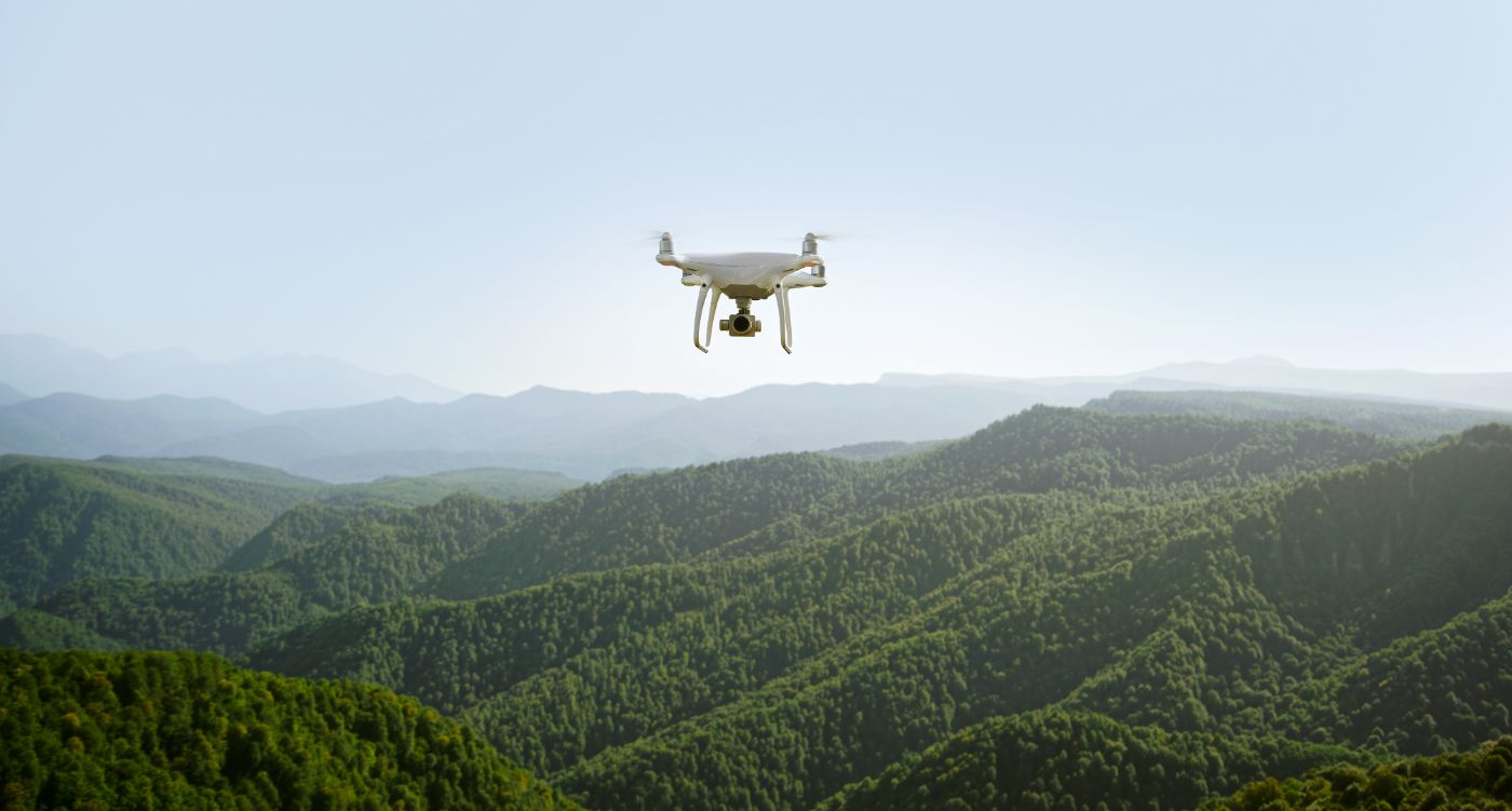
Over the past few years, Softree has seen a significant increase in customers using DEM data and imagery acquired from UAVs (unmanned aerial vehicles) , commonly referred to as drones. This form of mapping has a wide range of applications such as surveying right-of-ways prior after felling and prior to construction, construction monitoring, and as-built surveys.
While RoadEng (Terrain Tools) is not a drone-post processing software solution, you can take full advantage of working with the data within our software.
Tips for working with drone data in Terrain 3D and RoadEng:
- Setup / save/ and re-use your data import specifications – especially useful if you are flying the same area (ie. a stockpile or mine site) over again.
- Selectively thin – depending on the size of your project, drone-collected point clouds can get really big, really fast. We highly recommend selecting thinning your data outside your area of interest – more info here: http://support.softree.com/knowledge-base/terrain-...
- With post-processing software, like Pix4D, you can output in a variety of formats that our RoadEng software works with.
- .las or .laz are the best quality
- but you can also export a geo-referenced .tif
- Details on how to export a .las file with Pix4D are here: https://support.pix4d.com/hc/en-us/articles/203890...