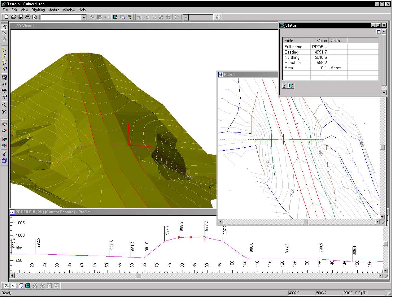
Softree Technical Systems Inc. of West Vancouver B.C. has announced the release of Terrain Tools Version 4, their standalone program for surveying, mapping and terrain modeling.
The Terrain Tools suite is a quick and easy mapping package with functions for digitizing, coordinate entry, import and export, bitmap image display, drafting and creation of output drawings. It is ideal for the busy professional who is not a GIS specialist, but who needs to work with maps and scaled drawings. Terrain Tools commercial products are based on their freeware version and are available in several configurations (2D, 3D and Survey).
The 2D Edition provides basic functions for creating and analyzing maps including coordinates, attributes and images. The 3D edition includes digital terrain modeling, contouring, earthwork calculations and profile display and editing. The Survey edition includes a field note entry module.
Terrain Tools Version 4 has been in development for more than 3 years and is a significant step forward in functionality. Version 4 includes a long list of new features to make it faster and easier to use. Some of the most notable are the survey adjustment history, user definable attributes, coordinate system transformations, improved import/export, 3D window and image rubber sheeting .
More information is available at their web site www.softree.com or contact Wendy Hellofs at (toll free 866-519-6222).