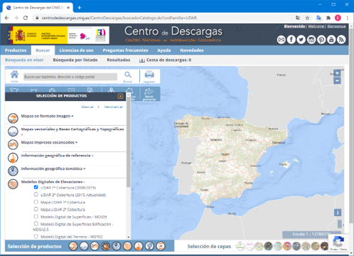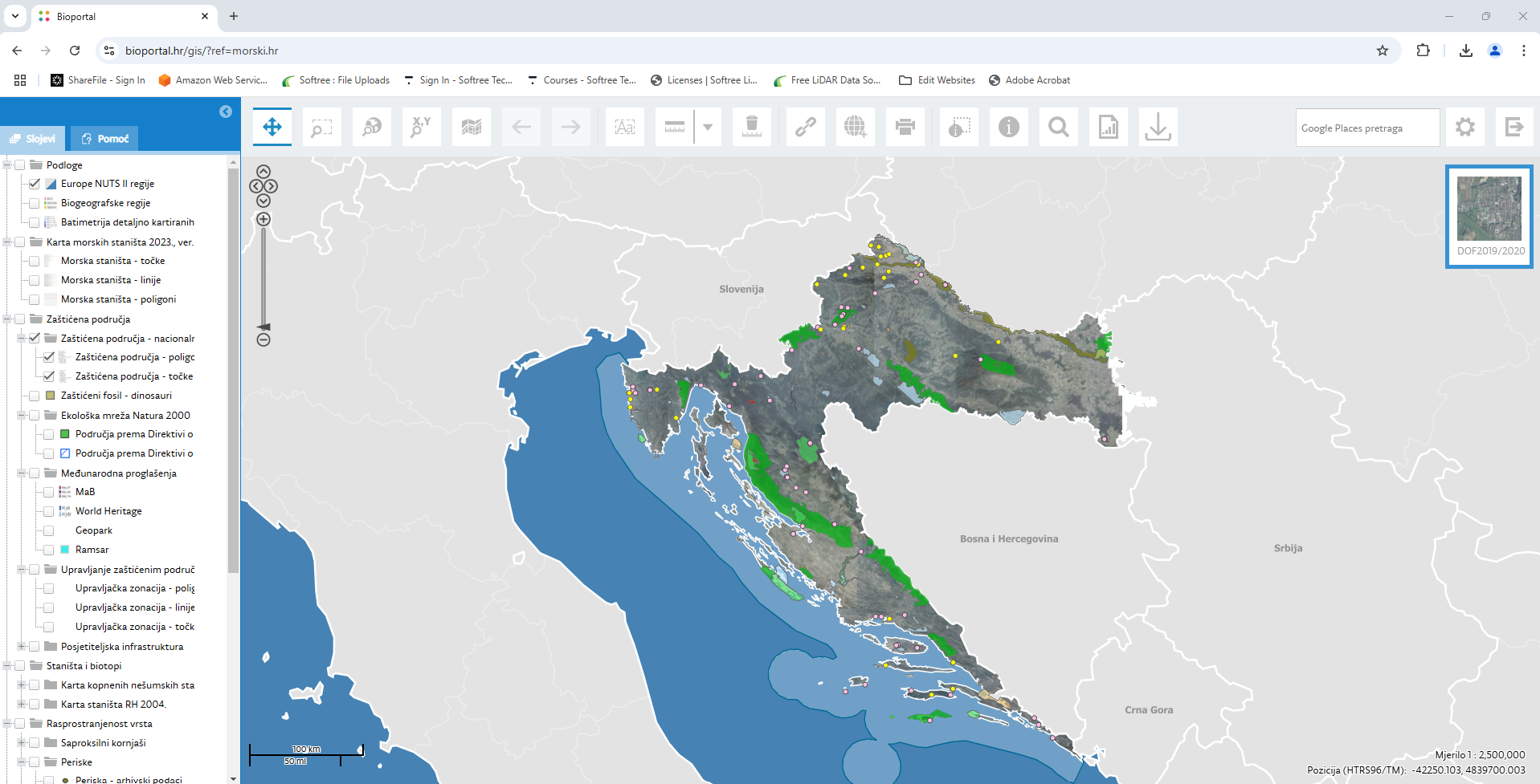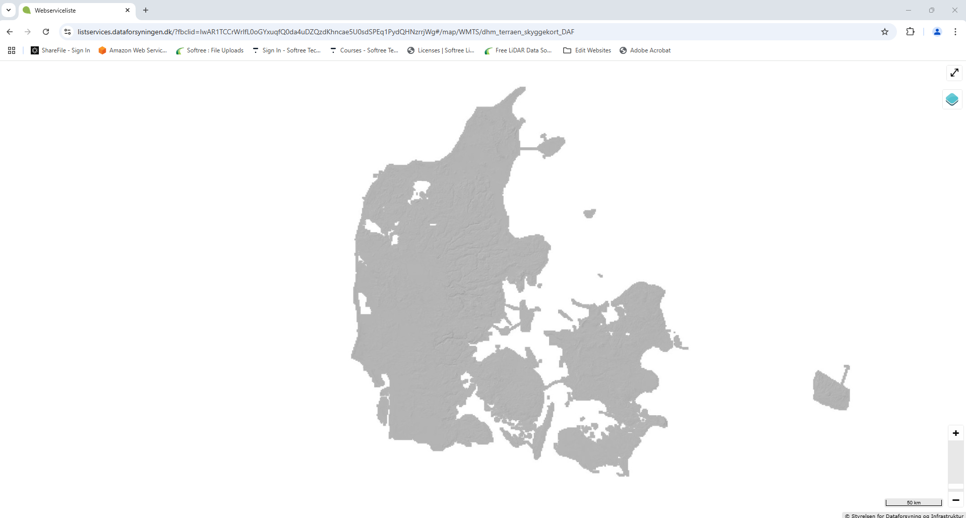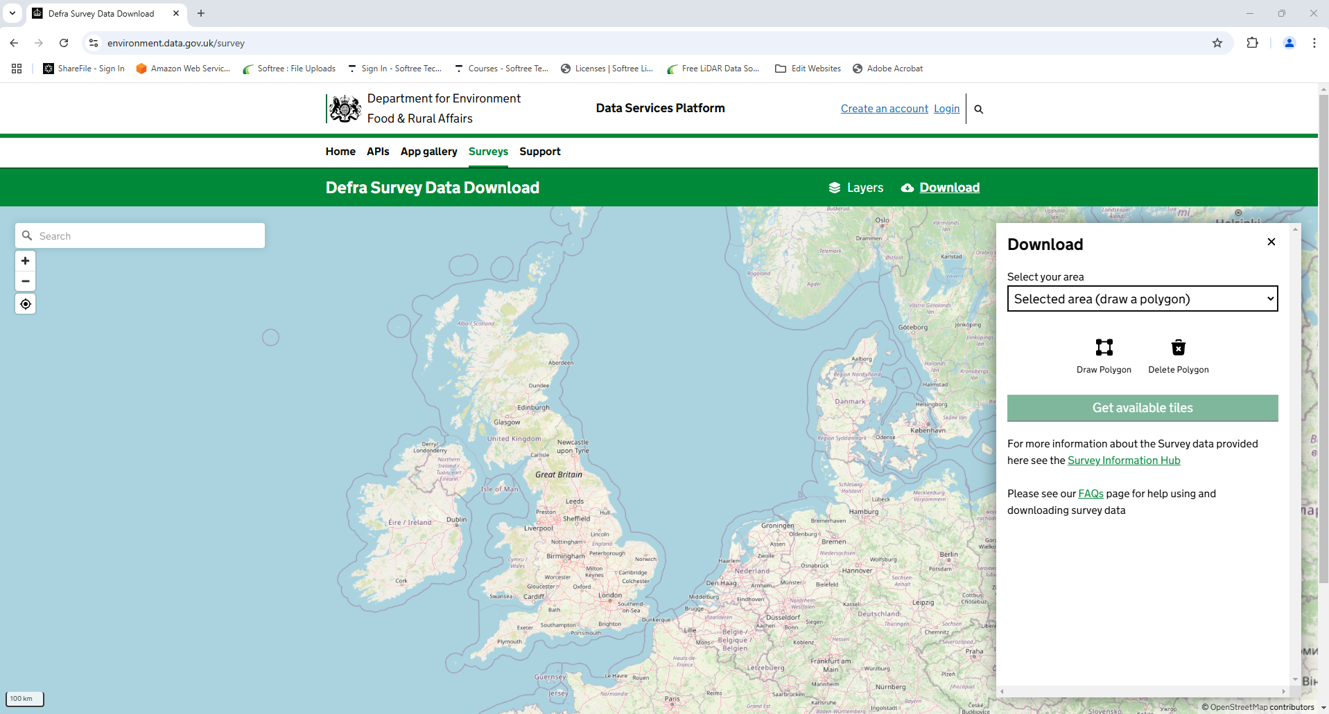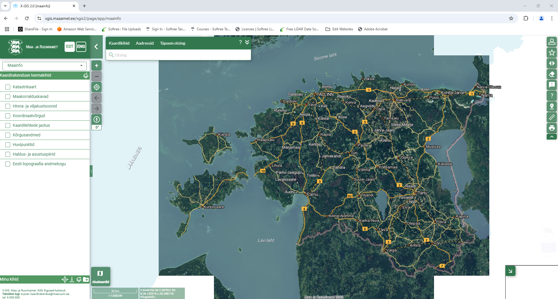
There is a growing collection of free LiDAR and other DEM/Elevation data resources online and available to the public. We are often asked by customers about availability for LiDAR (or DEM) data in their area of interest. So our Support Team has put together a little list
LiDAR BC:
Coverage: British Columbia, Canada
Link to Portal
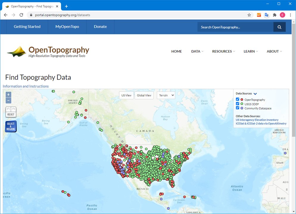
Open Topography:
A collection of LiDAR and LiDAR-derivative datasets from around the world. The majority of its data sets are located in the United States, New Zealand.
Coverage: Mostly US, New Zealand
Link
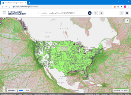
U.S. Interagency Elevation Inventory
Coverage: mostly US
Link
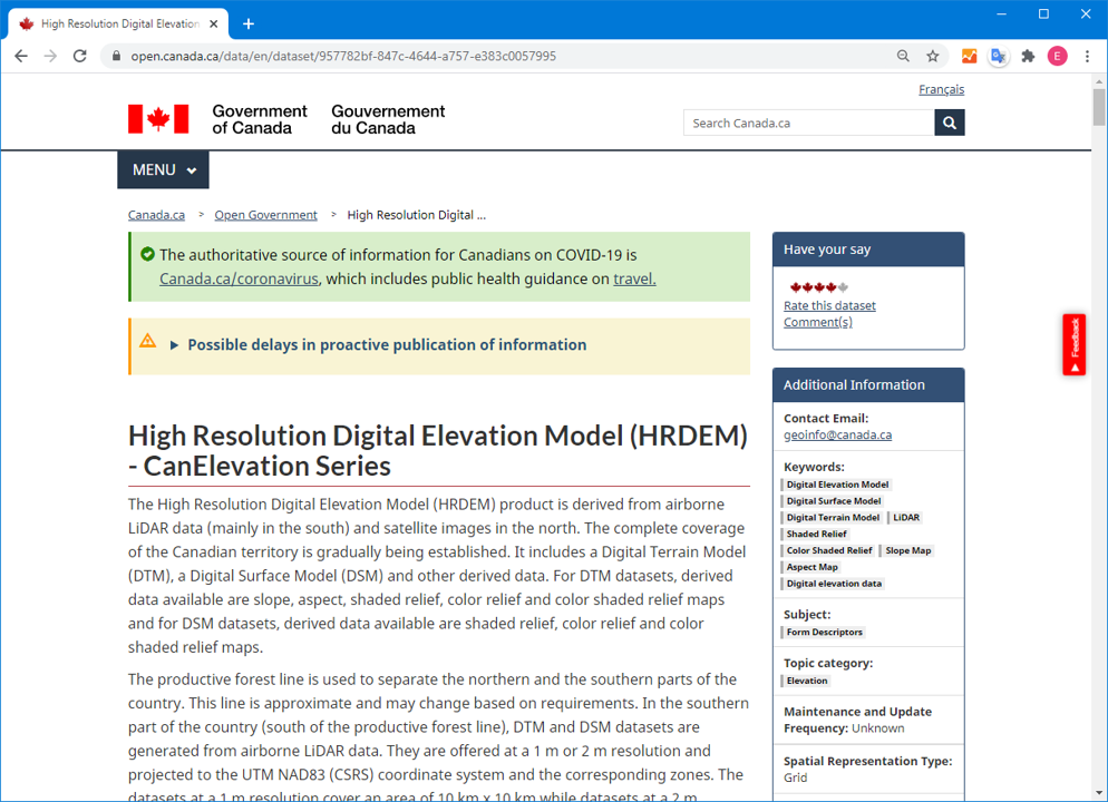
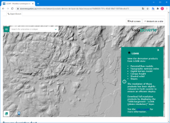
Open.Canada.ca - High Resolution Digital Elevation Model (HRDEM) - CanElevation Series
Coverage: Canada
Link
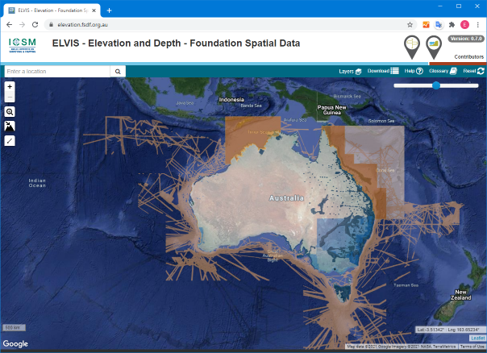
ELVIS
Coverage: Australia (mostly SW)
Link
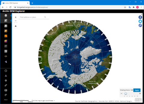
Arctic DEM Explorer
2m DEM covering latitudes greater than 60 degrees including parts of Canada, Russia, Greenland, Iceland, Faroe Islands, Norway, Finland, Sweden, USA)
Coverage: Latitudes greater than 60 degrees
Link
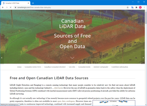
Canadian GIS Database
Coverage: a list of additional data sets from within Canada
Link
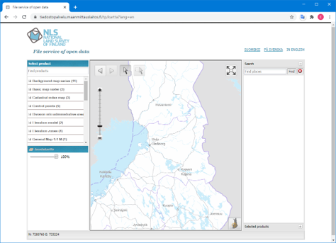
National Land Service of Finland
Coverage: Finland
Link
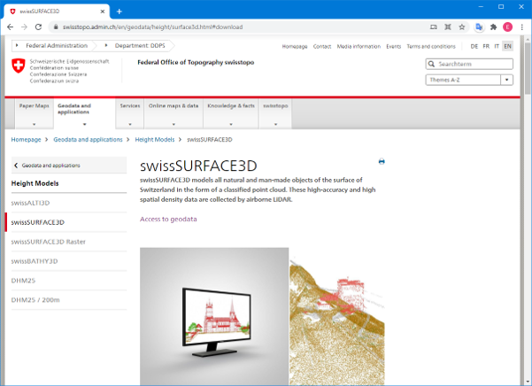
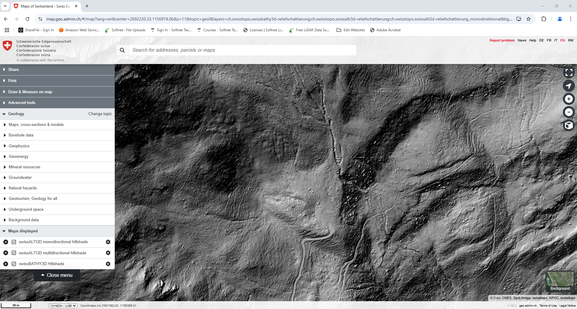
swissSURFACE3D
Coverage: Switzerland
Link
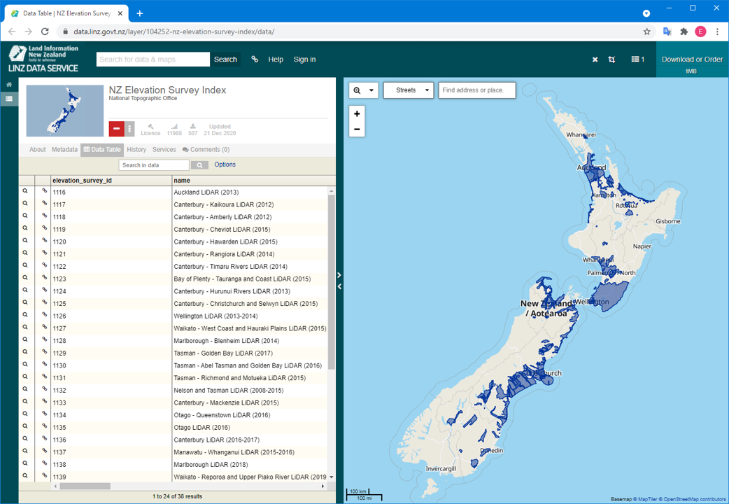
LINZ - Land Information New Zealand
Coverage: New Zealand
Link
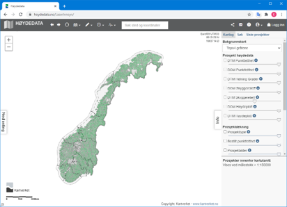
Høydedata
Coverage: Norway
Link
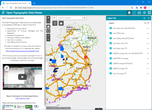
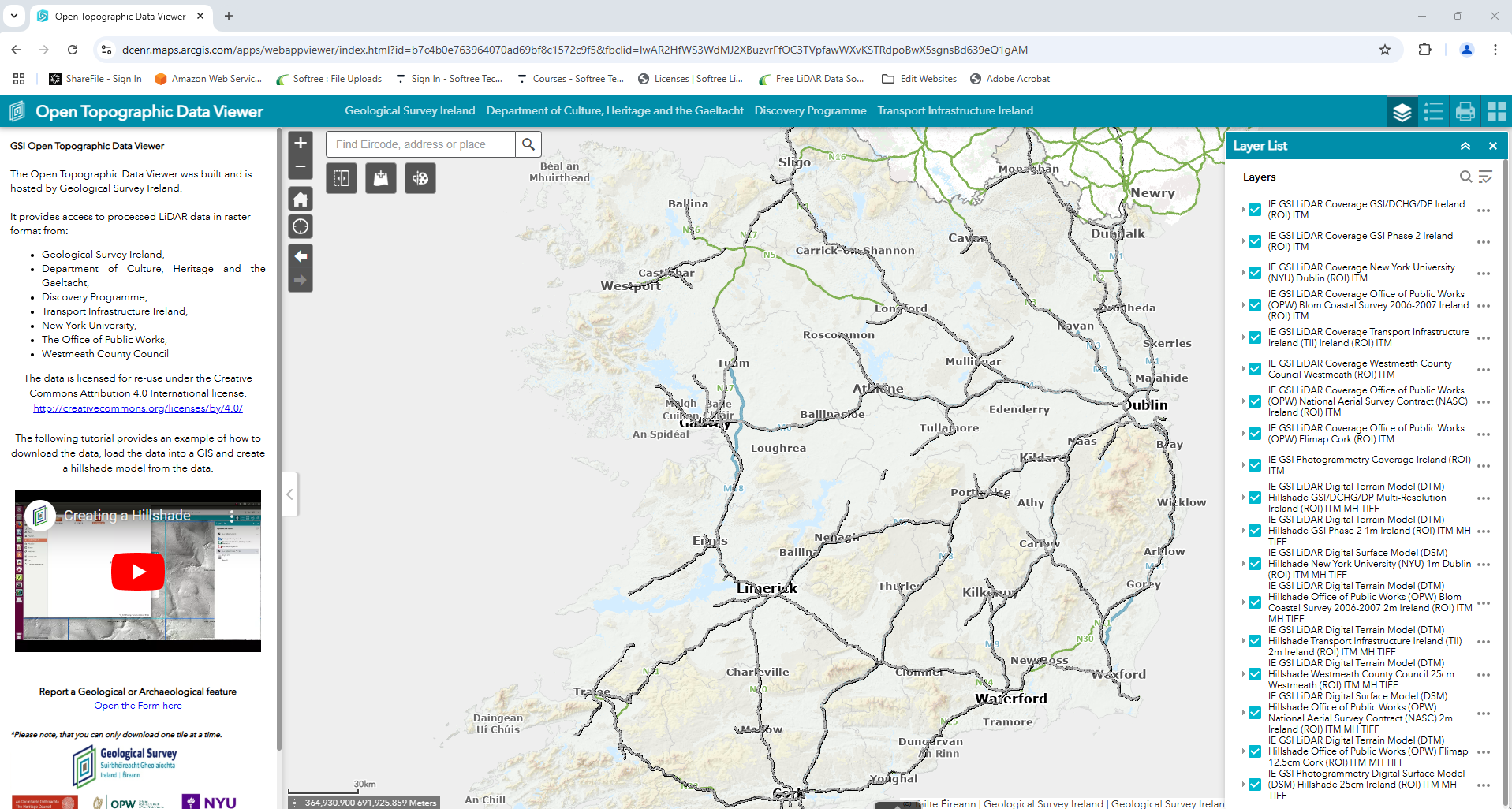
Open Topographic Data Viewer
Coverage: Ireland
Link
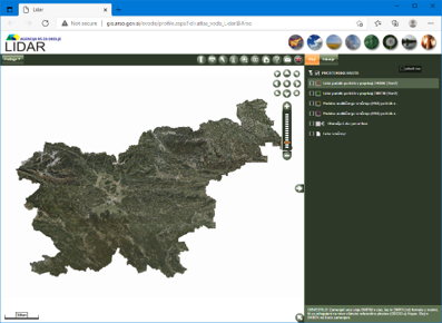
Agencija rs Za Okolje
Coverage: Slovenia
Link
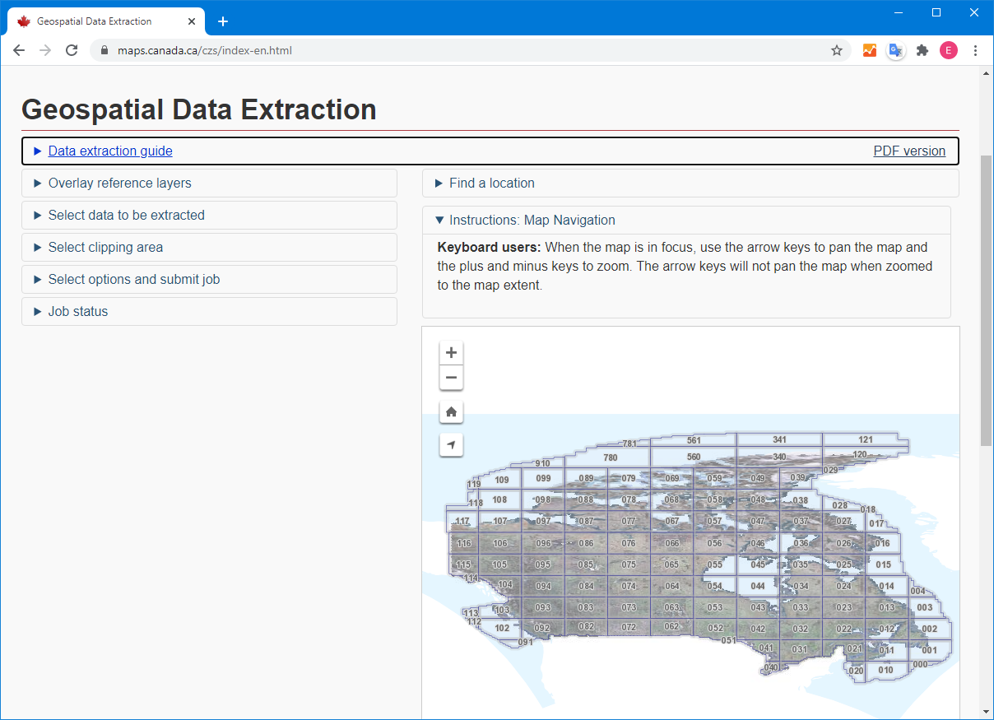
Geospatial Data Extraction (Maps Canada)
Coverage: Canada
Link
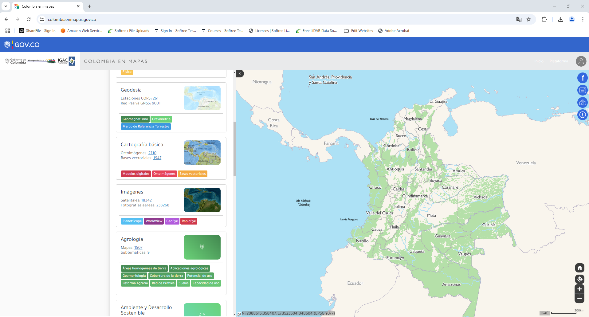
Colombia en Mapas IGAC
Coverage: Colombia
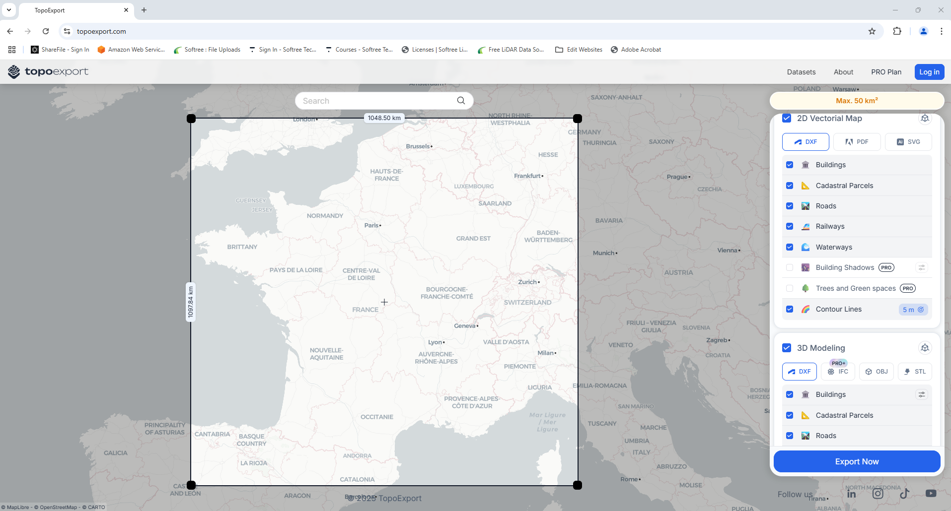
Topo Export
Coverage: France
Link
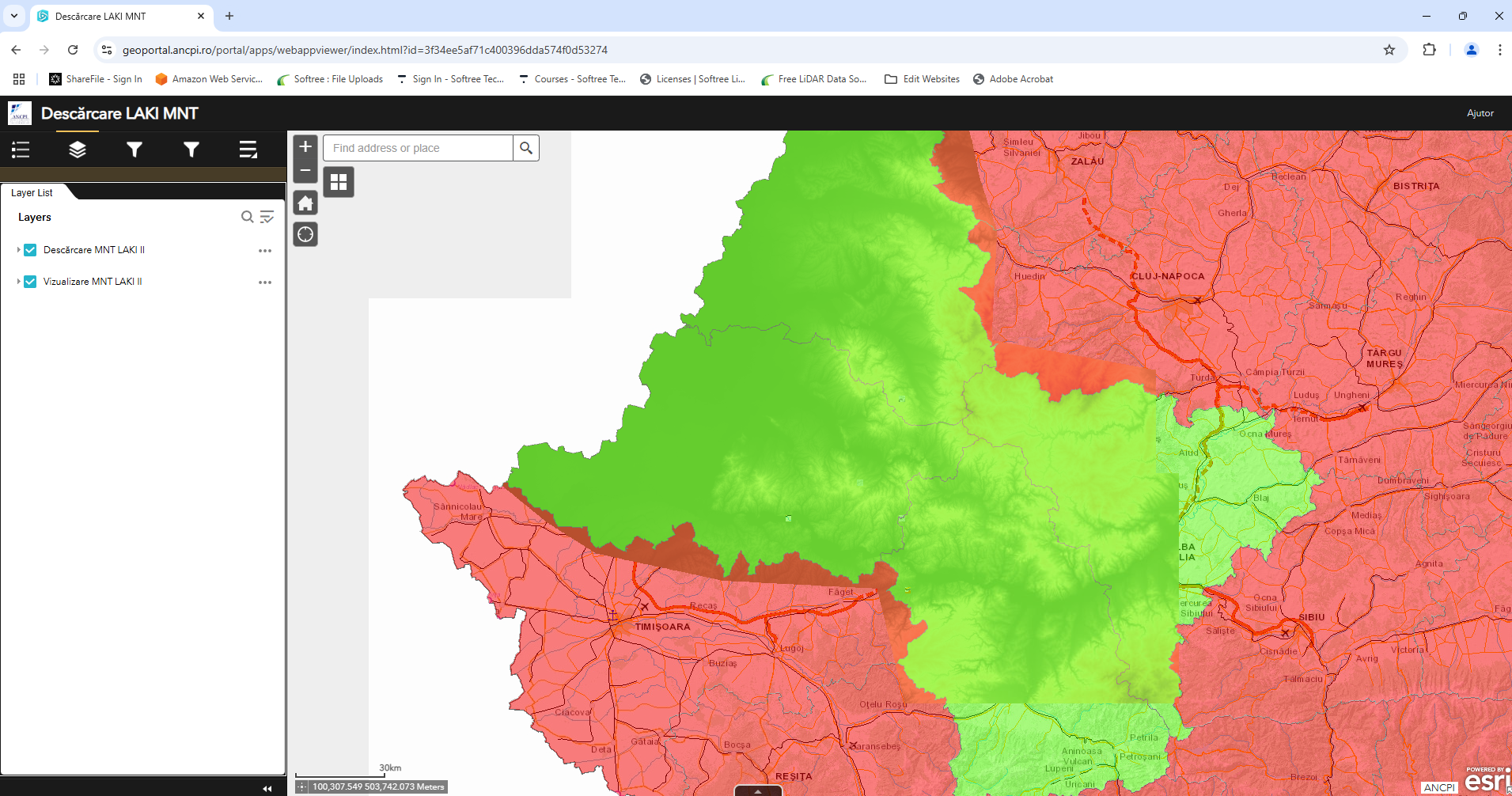
Descărcare LAKI MNT
Coverage: Romania
Link
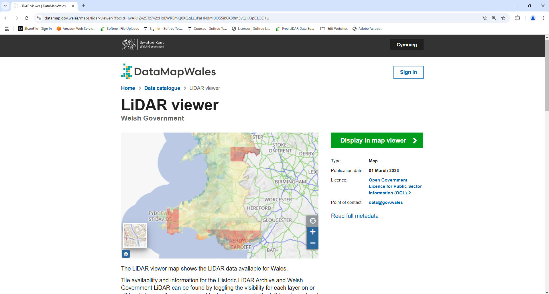
DataMapWales
Coverage: Wales
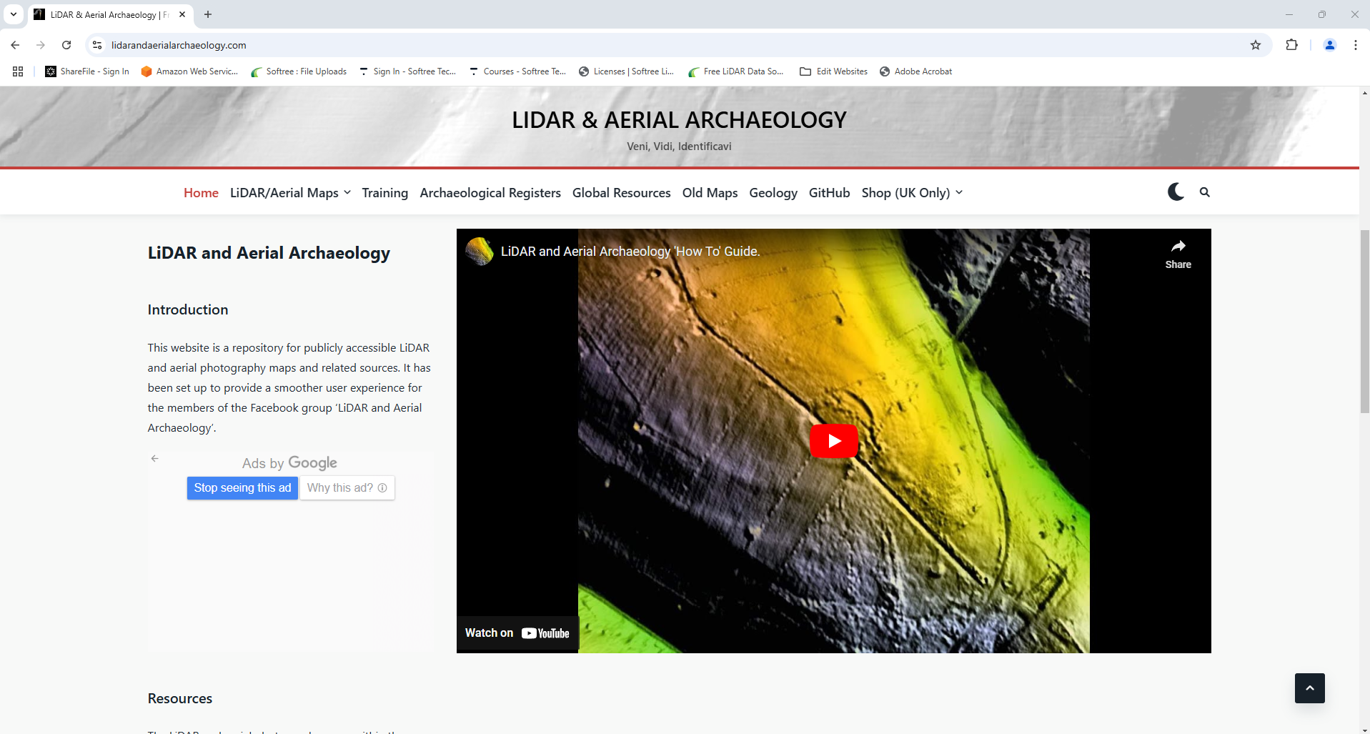
LiDAR & Aerial Archaeology
Coverage: Worldwide - Mostly Europe, Australia, New Zealand and North America. Repository for publicly accessible LiDAR and aerial photography maps and related sources
Link

